
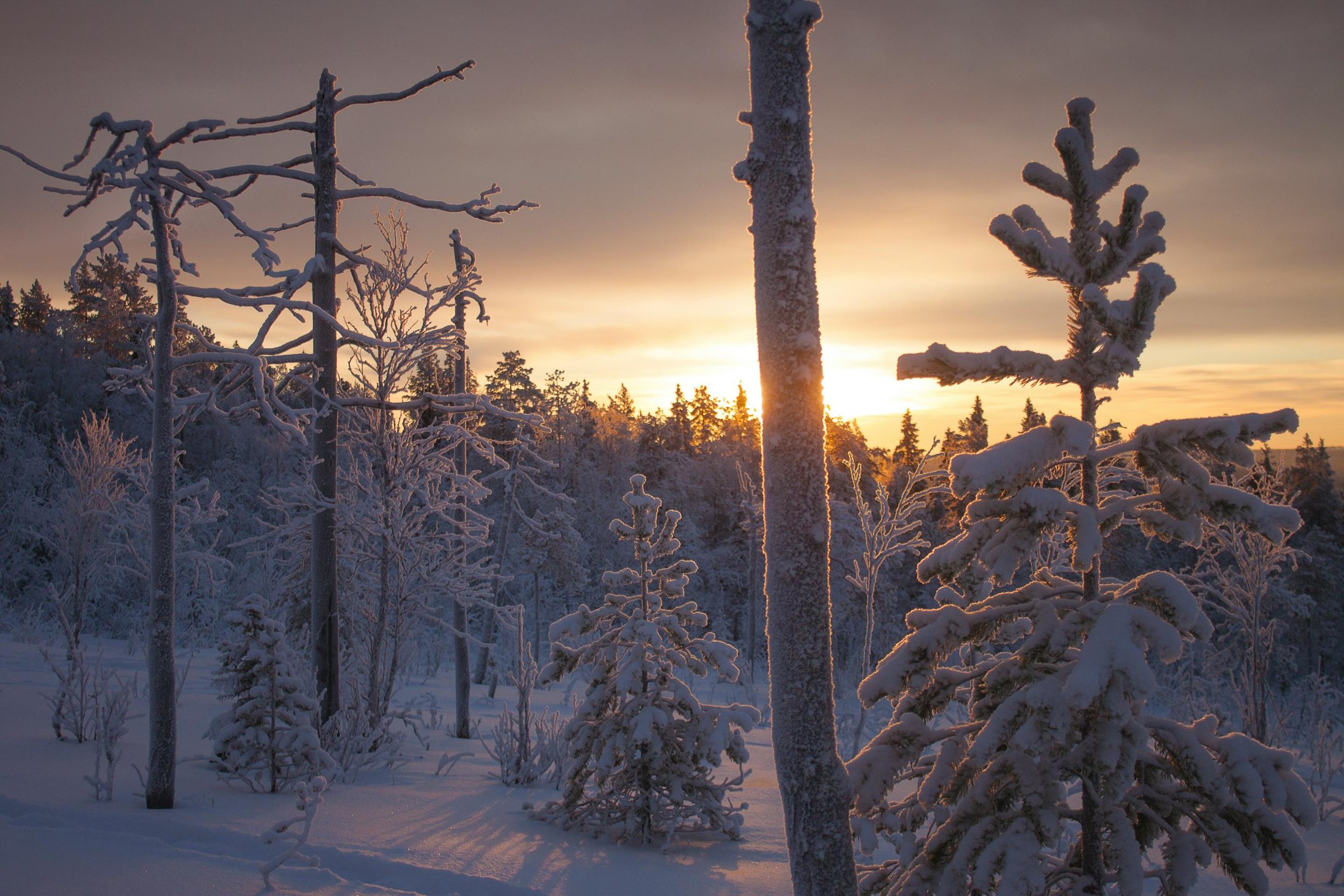
Snow-Shoeing in Enontekiö
Snowshoe Enontekiö's summer hiking trails in winter, with three classic marked routes and notes on local etiquette and deep-snow conditions.
As with XC skiing, all the summer hiking trails can be snowshoed in winter, but not all are maintained as winter trails. Their marker posts mean you are unlikely to get lost, yet sections can hold very deep snow, so use BIG snowshoes or be prepared to work very hard.
- All summer hiking trails are snowshoe-accessible, though not all are winter-maintained
- Use BIG snowshoes or expect hard work in deep snow
- Avoid the groomed ski tracks: it's culturally frowned upon
- Kultima-Leppäjärvi Trail: 25 km, good day trip, also a biking route
- Kaaresuvanto-Lavivaara-Syväjärvi Trail: 20 km, undemanding; wilderness hut at Syväjärvi
- Palojärvi-Salvasjärvi Trail: 20 km old postal track; bring a passport (crosses into Norway)
Trail Etiquette
Do not snowshoe (or snowmobile) on the groomed ski tracks. It carves up the surface and ruins the moulded classic-style grooves, which hard-core skiers find annoying. In traditional Finnish style they will probably frown about you rather than say anything to your face, but now you know it is not culturally appropriate.
The Kultima-Leppäjärvi Trail (25 km)
Set off along the sandy road from the village of Kultima. The trail makes a good day trip through mainly lichen-filled dry forest, with some damper sections lacking duckboards. The last 5 km, from the River Palojoki to the village of Leppäjärvi, is a dirt track passing privately owned cottages, and the whole route also suits mountain biking. At the halfway point, a 1 km detour north brings you to clear, cliff-ringed Lake Pahtajärvi.
The Kaaresuvanto-Lavivaara-Syväjärvi Trail (20 km)
Starting at the village of Kaaresuvanto, the trail leads to Lake Syväjärvi via Lavivaara Hill, where gravel road gives way to dirt track. Like all trails maintained by the Finnish Road Administration it is marked with kilometre posts. The terrain is undemanding, if a bit rocky at the Syväjärvi end, and suits mountain biking. Services: Syväjärvi open wilderness hut.
The Palojärvi-Salvasjärvi Trail (20 km)
This old postal track, maintained by the Finnish Road Administration and still used by locals, runs clearly through the terrain from the north side of Palojärvi village to reindeer herders' summer cabins at Lake Salvasjärvi. It carries kilometre signs, but still take a map and compass. The track crosses into Norway at one point, so you should technically carry your passport.
Approaching the lake, the trail climbs onto the tundra plateau, ending at Salvasjärvi open wilderness hut on the east side. Mountain biking is possible but demanding, with great changes in altitude and vast mires.
Good to know
- Kultima-Leppäjärvi
- 25 km, lichen dry forest, halfway detour to Lake Pahtajärvi
- Kaaresuvanto-Syväjärvi
- 20 km, undemanding; Syväjärvi open wilderness hut
- Palojärvi-Salvasjärvi
- 20 km old postal track, crosses into Norway; Salvasjärvi open wilderness hut
- Note
- Take a map and compass; sections have deep, unmaintained snow