
Long Distance Hiking Trails near Hetta
Area information on multi-day wilderness hiking routes through Europe's last remaining wilderness areas near Hetta, for experienced hikers and ski tourers.
This section provides area information. Some of these routes run through Europe's last remaining wilderness areas and can be navigationally challenging, so they suit experienced hikers in summer or backcountry ski tourers and snowshoe-ers in winter.
However long or short your trip, we are happy to arrange guides or point you in the right direction.
- Recommended for experienced hikers and backcountry ski/snowshoe tourers
- Guides can be arranged for any of the routes
- Pöyrisjärvi (NE): unmarked navigation, far from other tourists
- Hetta-Näkkälä marked trail: 26 km old postal route, also bikeable
- Tarvantovaara (NW): 670 sq.km, prized by bird watchers
- Pulju (SE): large mires, abundant cloudberries in late summer
Pöyrisjärvi Wilderness Area (NE of Hetta)
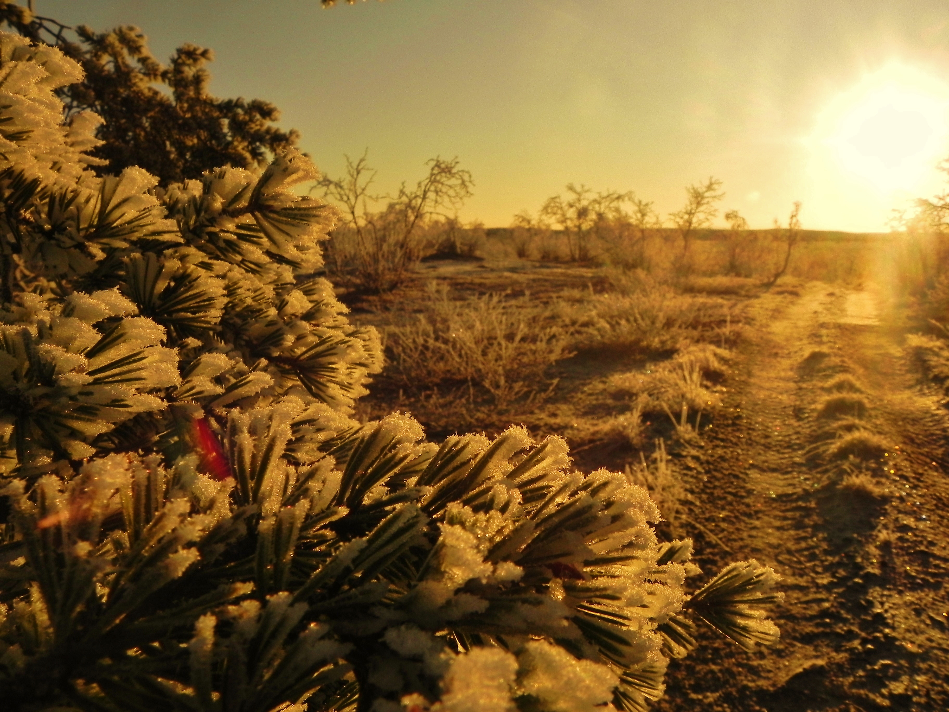
Pöyrisjärvi is where we take those who want challenging navigation, far from other tourists. You are unlikely to meet anyone but reindeer herders.
Rolling fell and forest make wonderful hiking terrain, though the large bogs are best circled. There are no marked trails, but many old unmarked ones show on terrain maps, as this has always been an important fishing, hunting and reindeer husbandry area. Everyman's Rights apply. Most visitors come between June and September.
The Hetta-Näkkälä Marked Trail (26 km)
Part of an old postal route from Hetta to Näkkälä and on to Pöyrisjärvi and Kalkujärvi, marked with tall green poles topped by a white-red cross. It is an easy hike but a demanding, rocky mountain-bike ride.
The lockable Sissanki Lapp pole tent at the start of the trail, about 7 km from Hetta, can be rented for overnight stays, and an open wilderness hut sits at the halfway point.
The Kalmakaltio-Pöyrisjärvi-Näkkälä Trail (~93 km)
Unmarked but clearly visible in the terrain, this extremely demanding footpath passes through the middle of Pöyrisjärvi Wilderness Area. Always carry a map and compass, wear hiking boots and proper clothing, and expect sudden weather changes. There are no service structures and rivers must be crossed by wading. Suitable for hiking and mountain biking.
Tarvantovaara Wilderness Area (NW of Hetta)
Tarvantovaara (670 sq.km, established 1991) is a retreat for experienced hikers seeking peace, quiet and unforgettable nature. Whooper Swans nest here in large numbers. The area lies west of Leppäjärvi and north of Kaaresuvanto, with the Finnish-Norwegian border along its north boundary, and about a third of it is mire, mainly palsa bogs.
The Kultima-Leppäjärvi Trail (25km) makes a good day trip through dry lichen-filled forest. The Palojärvi-Salvasjärvi Trail (20km), an old postal track still used by locals, ends at Salvasjärvi open wilderness hut.
Pulju Wilderness Area (SE of Hetta)
Pulju Wilderness Area is known for its large mires and its many hills and fells, a perfect destination for experienced trekkers. In late summer its abundant cloudberry crop draws day visitors to the mires. A road and snowmobile track cross the area from Nunnanen to Pulju, and the reindeer of three herding co-operatives graze here.
Ready when you are
Real wilderness, 200+ huskies, eighteen winters in.