
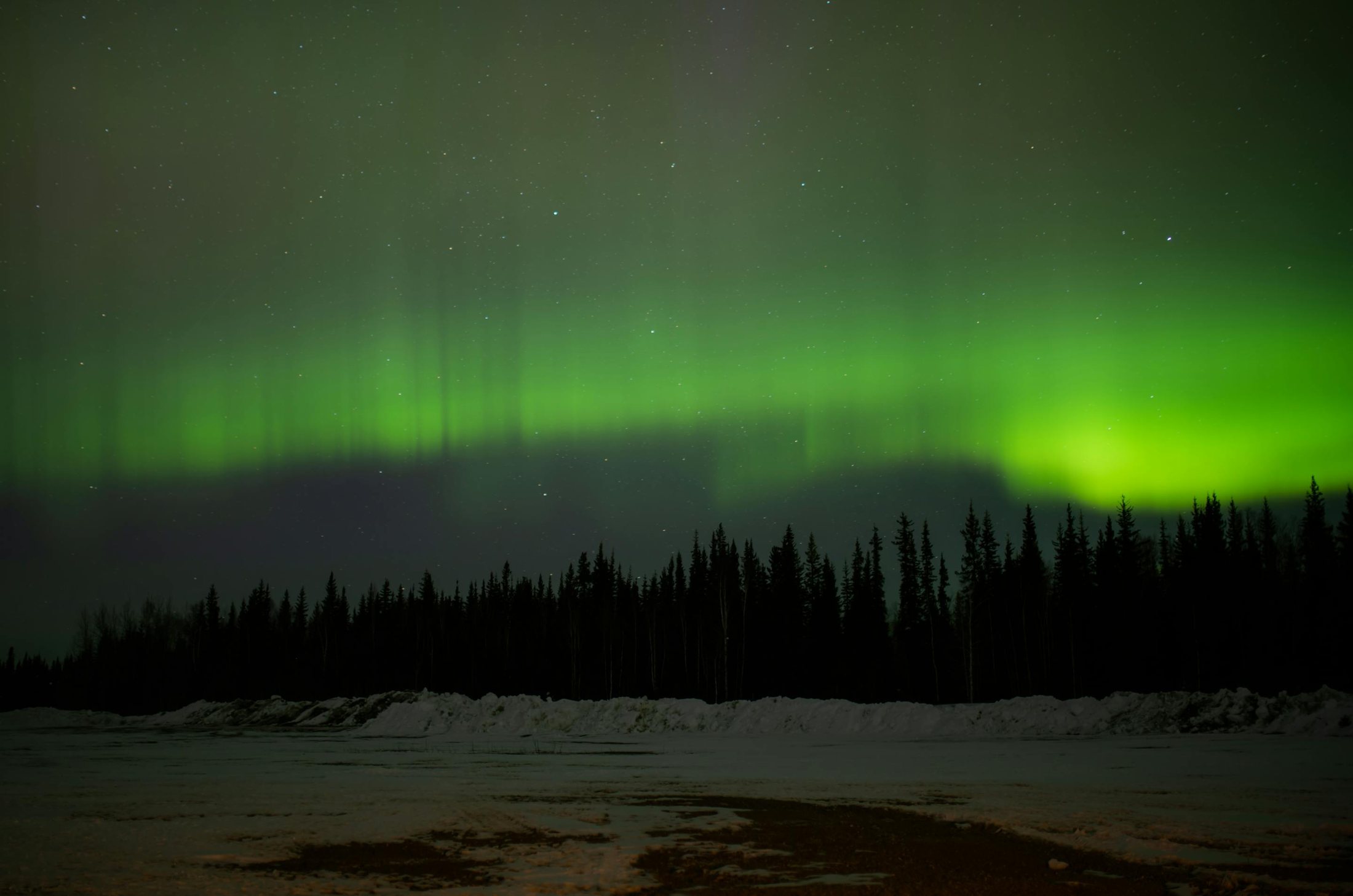
Biking in Enontekiö
Gravelled forestry roads, sandy heath trails, old German routes and challenging wilderness duckboards - from gentle road rides to expert fell crossings.
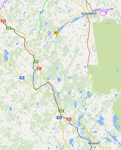
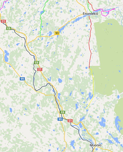
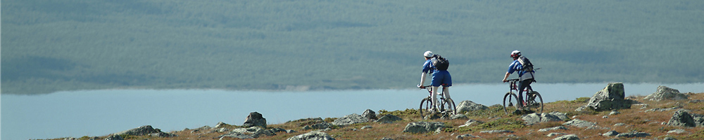
Enontekiö's fell highlands are great mountain-biking country, with gravelled forestry roads, sandy heath trails, old German routes and challenging duckboards across vast wilderness. Every area except the Malla Nature Reserve and the Pallas-Yllästunturi National Park is open access. Road biking is pleasant too, on quiet, well-kept roads. National biking trail 21 runs east-west through Hetta, marked with brown and white bicycle signs.
- National biking trail 21 runs east-west through Hetta
- Open access everywhere except Malla Nature Reserve & Pallas-Yllästunturi National Park
- Hetta-Näkkälä trail: 26 km along an old postal route
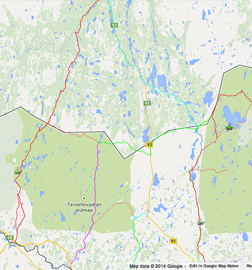
- Kalmakaltio-Pöyrisjärvi-Näkkälä: c. 93 km
- Expert routes reach the Arctic Ocean and the foot of Halti
Routes also used for hiking
Several routes in the hiking section of our website also suit bikes: Hetta-Näkkälä (26 km), Kalmakaltio-Pöyrisjärvi-Näkkälä (c. 93 km), Näkkälä to Pöyrisjärvi (c. 18km), Kalmakaltio to Naltijärvi (c. 20km) and Hetta to Sonkamuotka via Muotkajärvi (c. 30km). Metsähallitus maintains wilderness cabins in Pöyrisjärvi and Naltijärvi, with cabins for hire in Pöyrisjärvi.
For expert riders
More demanding trails include Kultima to Leppäjärvi and Hetta to Ylimuonio. Experts should try the terrain trails from Pöyrisjärvi to the Norwegian border, or from Kaaresuvanto via Syväjärvi and Puussasvaara to Neuhkana. A very exotic route runs from Kåfjord on the Arctic Ocean, up the 'mountain road' to Guolasjärvi, then on good terrain and quadbike trails to Somasjärvi, east of Halti, Finland's highest mountain.
The Hetta-Näkkälä Trail (26 km)
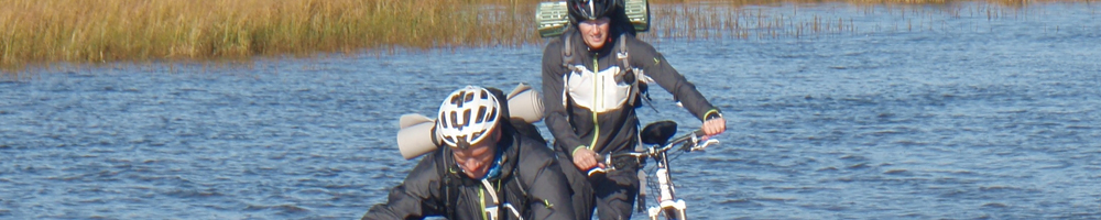
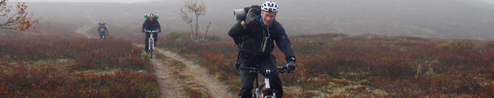
Part of an old postal route that carried post from Hetta to Näkkälä and on to Pöyrisjärvi and Kalkujärvi. Undemanding as a hike, it is demanding to bike, rocky in places, with duckboards at some but not all wet spots.
 Biking KilpisWilderness mountain-bike routes in the Kilpisjärvi area in the 'arm' of Finland, ranging from easy gravel to very demanding expert terrain.
 Biking South of HettaOld postal trails and forestry roads south of Hetta, plus the Hetta-Pallas trail that completes one of Europe's longest continuous mountain-bike routes.
 Cross-Border BikingBorder-hopping routes from Finland into Norway and on towards the Arctic Ocean, following old postal trails and quad-bike tracks.
 Hetta Bike TrailsLonger day-trip biking trails around Hetta - from the easy illuminated 10km loop to the historic 26km old postal route to Nakkala.
 Levi Bike ParkA downhill bike centre at Levi ski resort with freeride, downhill and north-shore trails, plus the Yllas Bike Park and Super Bike Pass options.
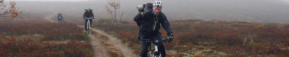 PoyrisjarviClassic multi-day wilderness traverses through the Poyrisjarvi region - unmarked, self-sufficient routes for expert riders up to 118km long.
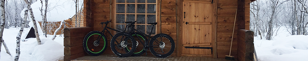 TarvantovaaraRemote quad-bike and single-track wilderness routes through the Tarvantovaara Wilderness Area, west of Leppajarvi, reaching towards the Norwegian border and Kautokeino.
Good to know
- National trail
- No. 21 (east-west through Hetta)
Planning a trip this far north?
We have lived and guided here since 2008 - ask us anything about the area.